Driving in Norway means treating ferries as part of the road. They are not excursions — they are road segments with timetables, and the timetable is your route plan.
The ferries
Car ferries run frequently on fixed schedules across fjords where building a bridge was impractical.
You queue, drive on, and the crossing takes ten to forty minutes. Payment is usually automatic via number plate recognition.
Fares are ordinary transport prices, not tourist ones, and the crossings give you the fjord views the excursion boats charge for.
Check the timetable before planning a day, particularly for less frequent crossings and outside summer. Missing the last ferry on a remote route means a very long drive around.
The National Tourist Routes
Eighteen designated scenic roads with purpose-built viewpoints, rest areas and architecture commissioned from Norwegian designers.
The viewpoints themselves are frequently worth stopping for as buildings — cantilevered platforms, concrete and steel structures over drops.
Trollstigen — eleven hairpins up a mountain wall with a waterfall through them. Typically open late May to October, and subject to closures for rockfall assessment in recent years. Check current status.
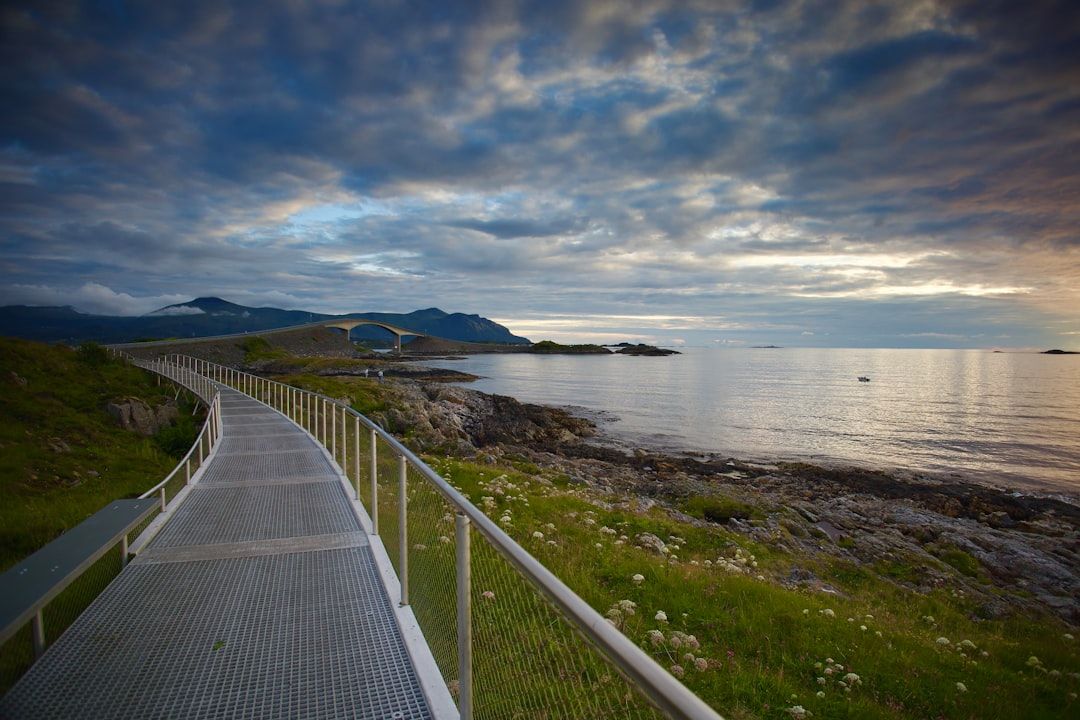
The Atlantic Road — eight bridges hopping between skerries, with the Storseisundet bridge curving upward so it appears to end in mid-air. Short, and best in rough weather when waves break over it.
Geiranger and Ørnevegen, Aurlandsfjellet, Lofoten, Senja, Sognefjellet — the highest mountain pass road in northern Europe.
Tolls
Automatic, by number plate recognition, with charges billed to the rental company and passed on afterwards, usually with an administration fee.
Rental cars normally have an AutoPASS tag. There are no booths to stop at on most roads.
Some tunnels and bridges carry substantial charges, and they accumulate over a long trip.
The seasonal problem
| Road | Typical season |
|---|---|
| Trollstigen | Late May–Oct |
| Sognefjellet | May–Oct |
| Gamle Strynefjellsvegen | Jun–Oct |
| Aurlandsfjellet | Jun–Oct |
| Main E-roads | Year round |
Many of the best roads are summer-only. A shoulder-season trip planned around them will find them shut.
Main routes stay open with winter tyres required by law in season.
Costs and how to manage them
Norway runs roughly double western European prices for food and fuel.
Supermarkets — Rema 1000, Kiwi, Coop Extra.
Cabins (hytter) at campsites, which are cheap and everywhere.
Allemannsretten — the right to roam permits free wild camping on uncultivated land, at least 150 metres from a dwelling, for up to two nights. This applies to tents rather than campervans, and roadside motorhome parking is a separate and increasingly regulated matter.
Tap water is excellent.
Practical
Speed limits are low and enforcement is strict, with substantial fines.
Tunnels are numerous, some many kilometres long, and a few have roundabouts inside them.
Summer daylight above the Arctic Circle means driving is possible at any hour, which changes what a day can cover.